Kidzone Geography
Brazil Index
Brazil Geography Facts
Brazil History Facts
Brazil Activities
Brazil Photos
KidZone Geography: Brazil
Amapa
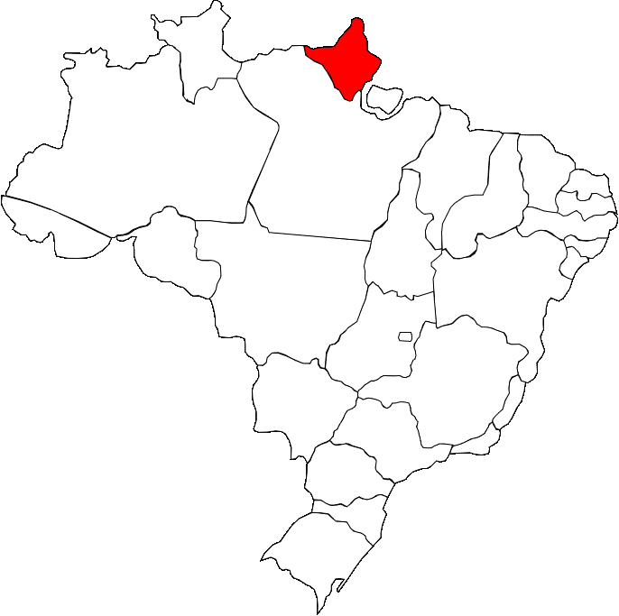
A map of Amapa, showing where it is in Brazil
Amapa is in the far North of Brazil and has international borders with French Guiana and Suriname. An odd fact about the states capital Macapa, is that it can only be reached by air and water, not road. Like many areas in Brazil, Amapa was controlled by the Portguese during the colonial era but repeatedly came under attack by Dutch and English forces. This was due to the abundant rubber and gold resources in the area. Despite this, 90% of the state is covered by the Amazon rainforest. The state is divided directly in two by the equator meaning it is in both the Northern and Southern hemisphere. The service industry represents 90% of the economy.